One way of assessing the condition of a nation is to look at its landscapes. There are of course many factors that influence the physical appearance of an area: the topography, the climate, the ecology, geology and so on.
But part of the equation is also the prevailing social and economic conditions. The landscapes reflect the way in which a nation manages its territory: the levels of investment, the planning systems, the architectural requirements, the attitudes and expectations of the people towards their surroundings, the history of the nation.
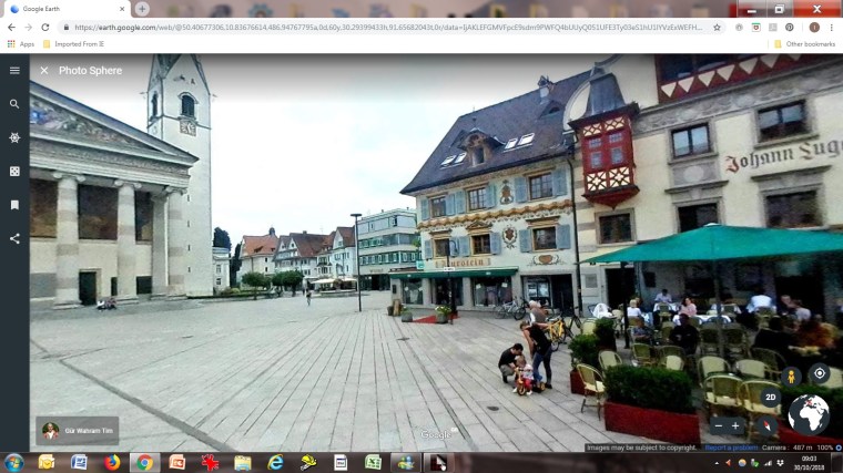
Google Earth presents a fantastic opportunity for surveying such things, so I thought I would conduct a small experiment to see what could be found with as objective an approach as is reasonably possible.
In coming posts, I am going to present sequences of ten photographs chosen more or less at random by ‘dropping in’ on places. I will mostly leave readers to draw their own conclusions, but if I do have a point to prove, it is that the care and effort put into the surroundings in different countries does vary significantly – and that it makes a material difference to the places in which people live, physical conditions notwithstanding. I suppose I should also confess my expectation that the U.K. does not fare particularly well in terms of its built environment.
The ‘rules’ I set myself were:
1. Set the camera at an altitude of about 500km (high enough to take in a large part of the country, and to obscure any obvious features).
2. Drag the peg-man and drop before the map has stopped moving, thus making the destination as random as possible.
3. When the image resolves, ‘permission’ is granted to take a 360 degree look around and choose the most interesting view.
4. Not to move the camera laterally from where it falls.
5. One reject allowed in each ten samples to allow for tedious repetition or utterly bland images that show nothing of interest.
6. The above accepted, aim for reasonable spatial coverage – e.g. don’t just drop the peg in the middle of the country each time.
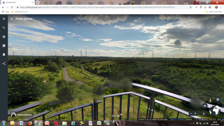
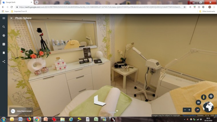
In some cases, it is even possible to land inside a building, which can reveal things about the style and quality of interiors.
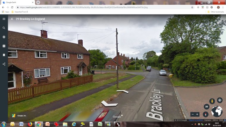
A perhaps surprising thing is how rarely one lands in the centre of a major urban area: while these dominate the social climate in a country, in spatial terms, they are very small. One lands far more frequently in open countryside (which is reassuring in a certain way) and, in the U.K. at least in identikit suburbs (which is perhaps less so).
Ten pictures are hardly enough to present a coherent impression of a country, and by definition a random sample may be neither consistent nor representative. But as a random slice through the combined effects of physical and human activity, they can perhaps tell us something. The first two countries presented here are Germany and the U.K. More to follow in subsequent posts.
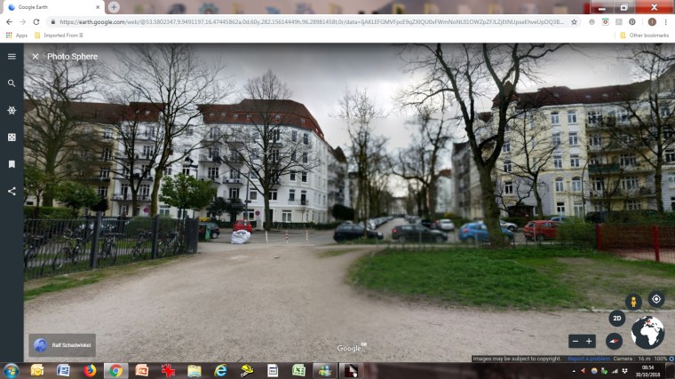
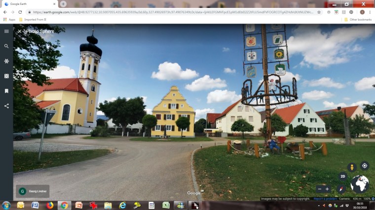
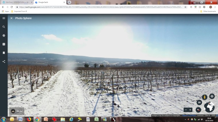
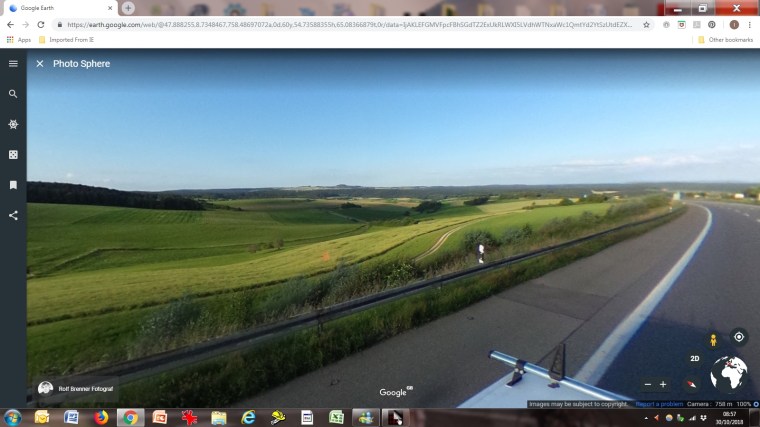
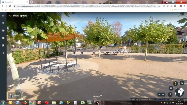
Germany: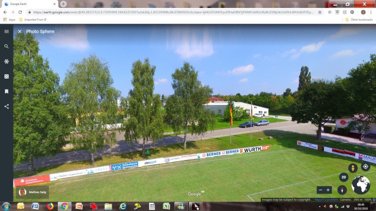
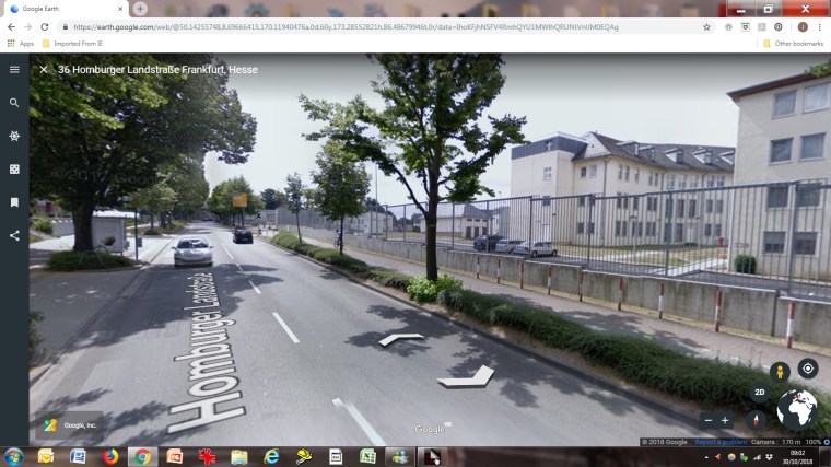
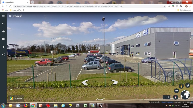
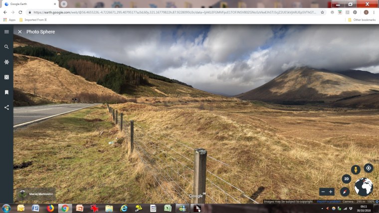
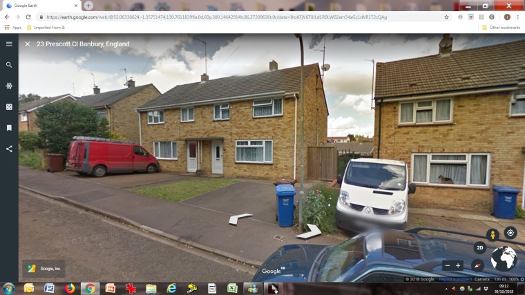
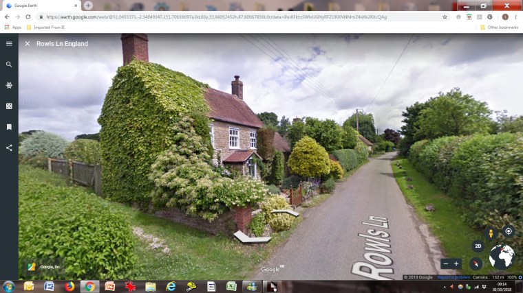
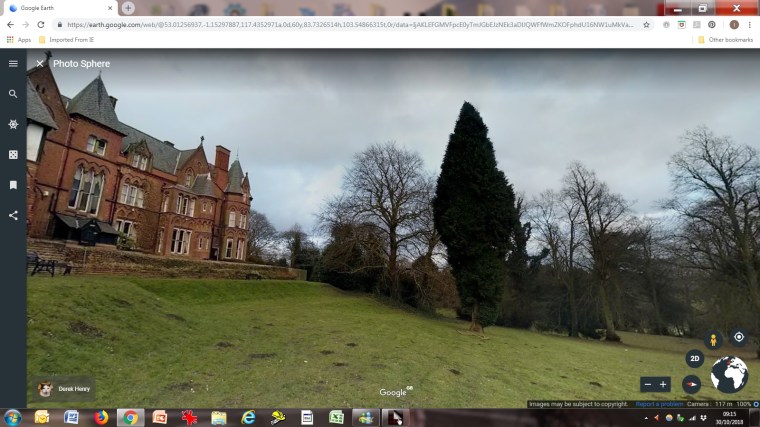
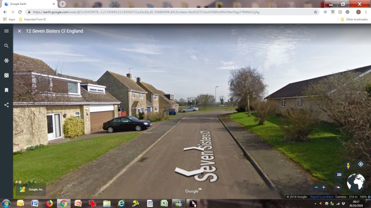
The U.K.: